

GPM GROUND VALIDATION NASA S-BAND DUAL POLARIMETRIC (NPOL) DOPPLER RADAR IFLOODS V2
Access & Use Information
Downloads & Resources
-
Google Scholar search resultsHTML
Search results for publications that cite this dataset by its DOI.
-
Download this datasetHTML
Files may be downloaded directly to your workstation from this link
-
Get a related visualizationPNG
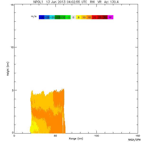
Sample browse image
-
View information related to this datasetHTML
IFloodS Field Campaign Collection DOI
-
View information related to this datasetHTML
The NASA NPOL Radar
-
View information related to this datasetHTML
Improving Flood Forecasting
-
View documentation related to this datasetPDF
The guide document contains detailed information about the dataset
-
View this dataset's publicationsHTML
Potential Role of Dual-Polarization Radar in the Validation of Satellite...
-
View this dataset's publicationsPDF
Dual Polarimetric Quality Control for Nasa's Global Precipitation Measurement...
-
The dataset's project home pageHTML
IFloodS Field Campaign Project Homepage
-
Get a related visualizationHTML
N/A
-
View documentation related to this datasetHTML
Instructions for citing GHRC data
-
Landing PageLanding Page
Dates
| Metadata Created Date | December 1, 2022 |
|---|---|
| Metadata Updated Date | April 10, 2025 |
Metadata Source
- Data.json Data.json Metadata
Harvested from NASA Data.json
Additional Metadata
| Resource Type | Dataset |
|---|---|
| Metadata Created Date | December 1, 2022 |
| Metadata Updated Date | April 10, 2025 |
| Publisher | NASA/MSFC/GHRC |
| Maintainer | |
| Identifier | C1979638123-GHRC_DAAC |
| Data First Published | 2015-06-02 |
| Language | en-US |
| Data Last Modified | 2025-03-31 |
| Category | IFloodS, geospatial |
| Public Access Level | public |
| Bureau Code | 026:00 |
| Metadata Context | https://project-open-data.cio.gov/v1.1/schema/catalog.jsonld |
| Schema Version | https://project-open-data.cio.gov/v1.1/schema |
| Catalog Describedby | https://project-open-data.cio.gov/v1.1/schema/catalog.json |
| Harvest Object Id | 0e3619c9-9194-4cf2-9f5a-f6ae9ffb9483 |
| Harvest Source Id | 58f92550-7a01-4f00-b1b2-8dc953bd598f |
| Harvest Source Title | NASA Data.json |
| Homepage URL | https://doi.org/10.5067/GPMGV/IFLOODS/NPOL/DATA102 |
| Metadata Type | geospatial |
| Old Spatial | -92.5128 42.2656 -92.5056 42.2708 |
| Program Code | 026:001 |
| Source Datajson Identifier | True |
| Source Hash | 243af81a6dd4b11bf55302582edf981e90b77d01a5f25b8d3df56d246f61eec6 |
| Source Schema Version | 1.1 |
| Spatial | |
| Temporal | 2013-04-30T15:25:52Z/2013-06-16T04:39:52Z |
Didn't find what you're looking for? Suggest a dataset here.