

MODIS/Aqua Calibrated Radiances 250m 5-Min L1B Narrow Swath Subset along CloudSat V002 (MAC02QS0) at GES DISC
Access & Use Information
Public: This dataset is intended for public access and use.
License: No license information was provided. If this work was prepared by an officer or employee of the United States government as part of that person's official duties it is considered a U.S. Government Work.
Downloads & Resources
-
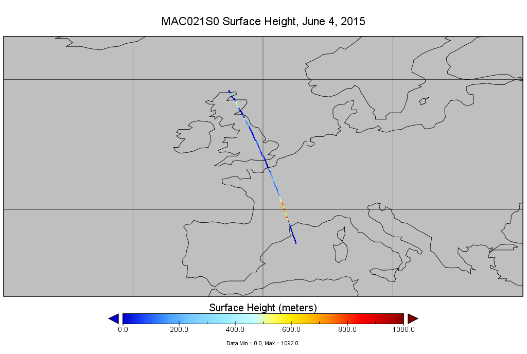
Get a related visualizationPNG
MAC02QS0_002.png
-
This dataset's landing pageHTML
Access the dataset landing page from the GES DISC website.
-
Download this dataset through a directory mapHTML
Access the data via HTTPS
-
View information related to this datasetHTML
MODIS Project Home Page
-
View information related to this datasetHTML
CloudSat Data Processing Center
-
View documentation related to this datasetHTML
Quality Assurance for the original product.
-
Landing PageLanding Page
Dates
| Metadata Created Date | November 12, 2020 |
|---|---|
| Metadata Updated Date | April 11, 2025 |
Metadata Source
- Data.json Data.json Metadata
Harvested from NASA Data.json
Additional Metadata
| Resource Type | Dataset |
|---|---|
| Metadata Created Date | November 12, 2020 |
| Metadata Updated Date | April 11, 2025 |
| Publisher | NASA/GSFC/SED/ESD/GCDC/GESDISC |
| Maintainer | |
| Identifier | C1236350900-GES_DISC |
| Data First Published | 2006-06-02 |
| Language | en-US |
| Data Last Modified | 2025-03-31 |
| Category | ATDD, geospatial |
| Public Access Level | public |
| Bureau Code | 026:00 |
| Metadata Context | https://project-open-data.cio.gov/v1.1/schema/catalog.jsonld |
| Schema Version | https://project-open-data.cio.gov/v1.1/schema |
| Catalog Describedby | https://project-open-data.cio.gov/v1.1/schema/catalog.json |
| Harvest Object Id | fec09d3a-b6f0-46db-b333-e1d8d8cdbbc2 |
| Harvest Source Id | 58f92550-7a01-4f00-b1b2-8dc953bd598f |
| Harvest Source Title | NASA Data.json |
| Homepage URL | https://cmr.earthdata.nasa.gov:443/search/concepts/C1236350900-GES_DISC.html |
| Metadata Type | geospatial |
| Old Spatial | -180.0 -90.0 180.0 90.0 |
| Program Code | 026:001 |
| Source Datajson Identifier | True |
| Source Hash | c7aa626a923bde25fd0a89dfa589d1a9331457aa517eef78672f2500cc6d33f8 |
| Source Schema Version | 1.1 |
| Spatial | |
| Temporal | 2006-06-02T00:00:00Z/2018-03-01T23:59:59.999Z |
Didn't find what you're looking for? Suggest a dataset here.