AVIRIS-3 L2A Orthocorrected Surface Reflectance, Facility Instrument Collection
This dataset contains Level 2A (L2A) surface reflectance images from the Airborne Visible / Infrared Imaging Spectrometer-3 (AVIRIS-3) instrument. This is the NASA Earth Observing System Data and Information System (EOSDIS) facility instrument archive of these data.

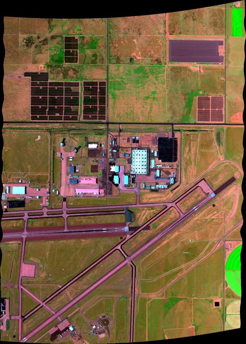
Figure 1. False color image derived from AVIRIS-3 orthocorrected surface reflectance data (R: 1660 nm, G: 850 nm, B: 560 nm) acquired on 2023-07-11 over Palmdale, California (approximately 34.642 latitude, -118.064 longitude); flight AV320230711t225833.
Citation: Brodrick, P.G., A.M. Chlus, U.N. Bohn, E. Greenberg, J. Montgomery, J.W. Chapman, M. Eastwood, S.R. Lundeen, R. Eckert, W. Olson-Duvall, D.R. Thompson, and R.O. Green. 2025. AVIRIS-3 L2A Orthocorrected Surface Reflectance, Facility Instrument Collection. ORNL DAAC, Oak Ridge, Tennessee, USA. https://doi.org/10.3334/ORNLDAAC/2357
