File:Venetian lagoon locator map.svg

Size of this PNG preview of this SVG file: 575 × 599 pixels. Other resolutions: 230 × 240 pixels | 461 × 480 pixels | 737 × 768 pixels | 983 × 1,024 pixels | 1,966 × 2,048 pixels | 692 × 721 pixels.
Original file (SVG file, nominally 692 × 721 pixels, file size: 1.08 MB)
Summary
| Description |
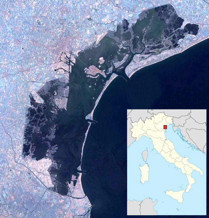
English: Locator map for places in the Venetian Lagoon |
| Date | |
| Source | File:Lagoon-of-venice-landsat-1.jpg overlaid with File:Italy ___location map.svg, with position box added |
| Author | NASA for the image, user:NordNordWest for the map |
Licensing
This file is licensed under the Creative Commons Attribution-Share Alike 3.0 Unported license.
- You are free:
- to share – to copy, distribute and transmit the work
- to remix – to adapt the work
- Under the following conditions:
- attribution – You must give appropriate credit, provide a link to the license, and indicate if changes were made. You may do so in any reasonable manner, but not in any way that suggests the licensor endorses you or your use.
- share alike – If you remix, transform, or build upon the material, you must distribute your contributions under the same or compatible license as the original.
| Annotations | This image is annotated: View the annotations at Commons |

File history
Click on a date/time to view the file as it appeared at that time.
| Date/Time | Thumbnail | Dimensions | User | Comment | |
|---|---|---|---|---|---|
| current | 19:55, 22 November 2013 | | 692 × 721 (1.08 MB) | Aymatth2 | User created page with UploadWizard |
File usage
There are no pages that use this file.
Global file usage
The following other wikis use this file:
- Usage on ar.wikipedia.org
- Usage on ceb.wikipedia.org
- Usage on de.wikipedia.org
- Burano
- Murano
- San Michele (Insel)
- Lido di Venezia
- San Lazzaro degli Armeni
- Torcello
- Sant’Erasmo
- Vignole
- San Pietro di Castello
- San Francesco del Deserto
- San Clemente (Venedig)
- San Servolo
- Poveglia
- Santo Spirito (Insel)
- Santa Cristina (Lagune von Venedig)
- Sacca Sessola
- Sacca Fisola
- Tronchetto
- Lazzaretto Nuovo
- Pellestrina
- Lazzaretto Vecchio
- Mazzorbo
- San Giorgio Maggiore
- Ponte della Libertà
- Sant’Ariano
- Sacca San Biagio
- Vorlage:Positionskarte Italien Lagune von Venedig
- Sant’Andrea (Venedig)
- San Giorgio in Alga
- Santa Maria della Grazia
- Sant’Angelo della Polvere
- San Giacomo in Paludo
- Madonna del Monte (Insel)
- La Certosa
- San Secondo (Venedig)
- Cantieri
- Isola dell’Unione
- Del Buon Castello
- Motta dei Cunicci
- Motta di San Lorenzo
- La Cura
- Monte dell’Oro
- Campalto
- Cason Montiron
- La Salina
- Crevan
- Aleghero
- San Giuliano (Insel)
View more global usage of this file.