
-
Federal
ETOPO 2022 15 Arc-Second Global Relief Model
National Oceanic and Atmospheric Administration, Department of Commerce —
ETOPO 2022, a global relief model with 15 arc-second resolution seamlessly integrating topographic and bathymetric data. The ETOPO 2022 model uses a combination of... -
Federal
EMAG2v3: Earth Magnetic Anomaly Grid (2-arc-minute resolution)
National Oceanic and Atmospheric Administration, Department of Commerce —
EMAG2v3 is a global Earth Magnetic Anomaly Grid compiled from satellite, ship, and airborne magnetic measurements. It is a significant update of the previous release... -
Federal
EMAG2: Earth Magnetic Anomaly Grid (2-arc-minute resolution)
National Oceanic and Atmospheric Administration, Department of Commerce —
EMAG2 is a global Earth Magnetic Anomaly Grid compiled from satellite, ship, and airborne magnetic measurements. It is a significant update of our previous candidate... -
Federal
F00508: NOS Hydrographic Survey , Wildcat Knoll Mapping Project, Massachusetts, 2005-08-08
National Oceanic and Atmospheric Administration, Department of Commerce —
The National Oceanic and Atmospheric Administration (NOAA) has the statutory mandate to collect hydrographic data in support of nautical chart compilation for safe... -
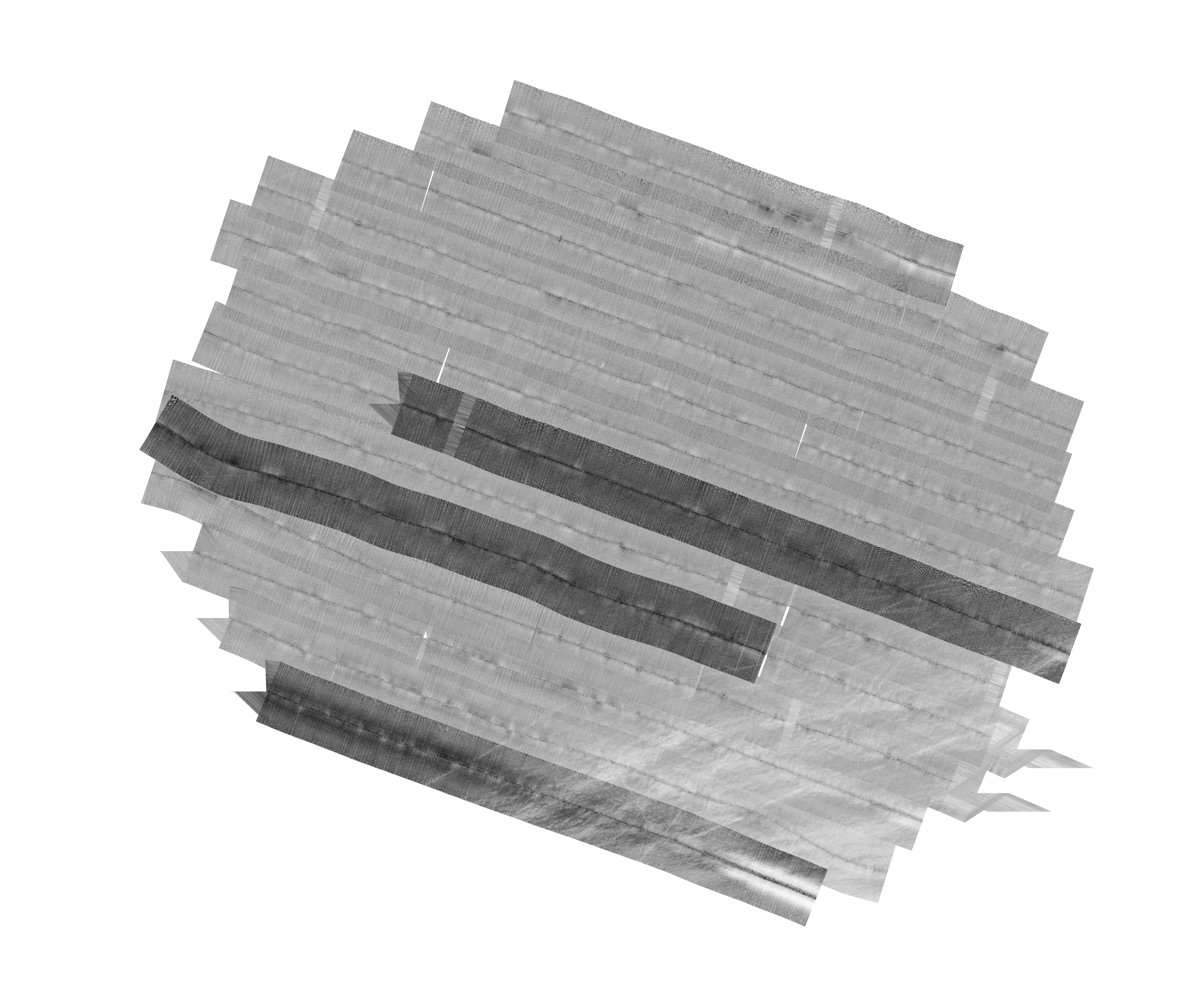
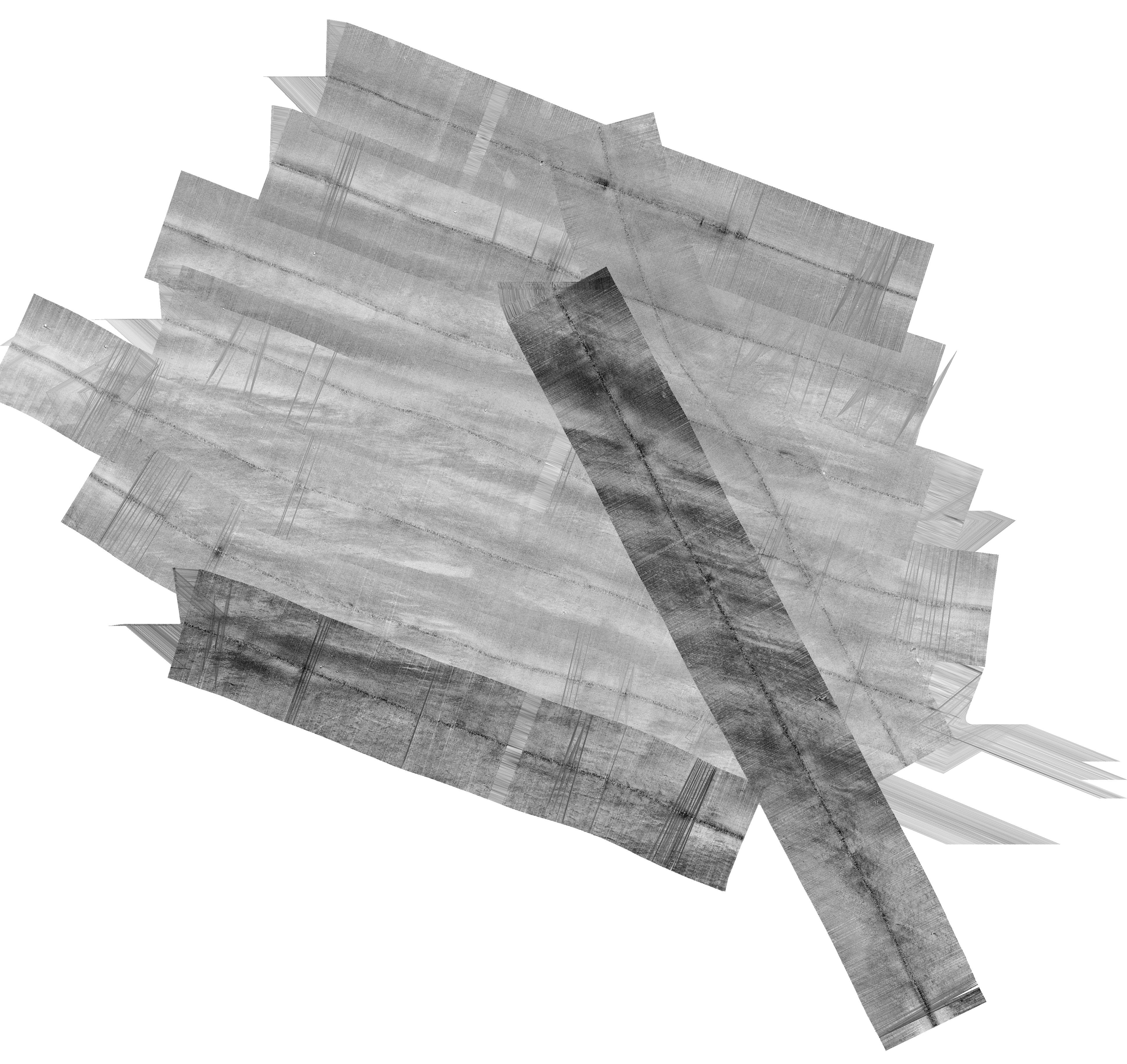
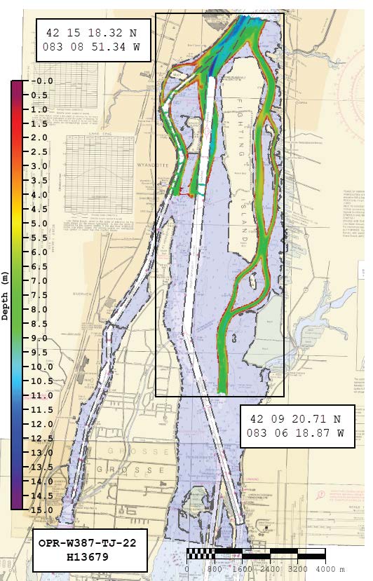
Federal
H13679: NOS Hydrographic Survey , 2022-08-22
National Oceanic and Atmospheric Administration, Department of Commerce —
The National Oceanic and Atmospheric Administration (NOAA) has the statutory mandate to collect hydrographic data in support of nautical chart compilation for safe... -
Federal
Physical Solar Model version 3 Global Horizontal Irradiance Multi-year Annual Average
Department of Energy —
This data provides annual average daily total solar resource averaged over surface cells of 0.038 degrees in both latitude and longitude, or nominally 4 km in size.... -
Federal
Physical Solar Model version 3 Global Horizontal Irradiance Multi-year Monthly Average
Department of Energy —
This data provides monthly average daily total solar resource averaged over surface cells of 0.038 degrees in both latitude and longitude, or nominally 4 km in size.... -
Federal
H03614: NOS Hydrographic Survey
National Oceanic and Atmospheric Administration, Department of Commerce —
The National Oceanic and Atmospheric Administration (NOAA) has the statutory mandate to collect hydrographic data in support of nautical chart compilation for safe... -
Federal
H03585: NOS Hydrographic Survey
National Oceanic and Atmospheric Administration, Department of Commerce —
The National Oceanic and Atmospheric Administration (NOAA) has the statutory mandate to collect hydrographic data in support of nautical chart compilation for safe... -
Federal
H08819: NOS Hydrographic Survey , Cape Romain, South Carolina, 1964-05-12
National Oceanic and Atmospheric Administration, Department of Commerce —
The National Oceanic and Atmospheric Administration (NOAA) has the statutory mandate to collect hydrographic data in support of nautical chart compilation for safe... -
Federal
Wind Integration National Dataset (WIND) Toolkit - Multi-year Annual Average - United States
Department of Energy —
This data provides modeled annual average wind speed for the contiguous United States both onshore and offshore for the period 2007–2013. This dataset was derived... -
Federal
H04795: NOS Hydrographic Survey
National Oceanic and Atmospheric Administration, Department of Commerce —
The National Oceanic and Atmospheric Administration (NOAA) has the statutory mandate to collect hydrographic data in support of nautical chart compilation for safe... -
University
2012 Whitewater Baldy Post Fire, Diablo Range NE NW, RGB
Earth Data Analysis Center, University of New Mexico —
This dataset contains imagery for the Gila National Forest, Catron and Grant County, New Mexico. The imagery was flown to provide coverage after the 2012 Whitewater-... -
University
2011 Las Conchas Post Fire, h435106_sw_nw, RGB
Earth Data Analysis Center, University of New Mexico —
Wilson and Company collected and processed multi-spectral (red, green, blue, near-infrared) digital aerial imagery of the Las Conchas Fire that burned in the Santa Fe... -
University
2011 Pacheco Post Fire, Aspen Basin NE SW, CIR
Earth Data Analysis Center, University of New Mexico —
This dataset contains imagery for the Carson National Forest. The imagery was flown to provide coverage after the 2011 Pacheco Fire. -
University
2011 Las Conchas Post Fire, a136106_sw_nw, CIR
Earth Data Analysis Center, University of New Mexico —
Wilson and Company collected and processed multi-spectral (red, green, blue, near-infrared) digital aerial imagery of the Las Conchas Fire that burned in the Santa Fe... -
University
2012 Whitewater Baldy Post Fire, Bearwallow Mountain NE SW, CIR
Earth Data Analysis Center, University of New Mexico —
This dataset contains imagery for the Gila National Forest, Catron and Grant County, New Mexico. The imagery was flown to provide coverage after the 2012 Whitewater-... -
University
2012 Whitewater Baldy Post Fire, Grouse Mountain SE NW, RGB
Earth Data Analysis Center, University of New Mexico —
This dataset contains imagery for the Gila National Forest, Catron and Grant County, New Mexico. The imagery was flown to provide coverage after the 2012 Whitewater-... -
University
2012 Whitewater Baldy Post Fire, Negrito Mountain NW SW, RGB
Earth Data Analysis Center, University of New Mexico —
This dataset contains imagery for the Gila National Forest, Catron and Grant County, New Mexico. The imagery was flown to provide coverage after the 2012 Whitewater-... -
University
2012 Whitewater Baldy Post Fire, Mogollan SE NW, CIR
Earth Data Analysis Center, University of New Mexico —
This dataset contains imagery for the Gila National Forest, Catron and Grant County, New Mexico. The imagery was flown to provide coverage after the 2012 Whitewater-...

Official websites use .gov
A
.gov website belongs to an official government
organization in the United States.
Secure .gov websites use HTTPS
A
lock (
) or https:// means you’ve safely connected to
the .gov website. Share sensitive information only on official,
secure websites.