

14,746 datasets found
-
Federal
U.S. Counties FIPS Layer
Department of Energy —
This dataset, which represents county Federal Information Processing System (FIPS) codes for each county as a raster, is utilized by reVX to compute setbacks... -
Federal
ETOPO 2022 15 Arc-Second Global Relief Model
National Oceanic and Atmospheric Administration, Department of Commerce —
ETOPO 2022, a global relief model with 15 arc-second resolution seamlessly integrating topographic and bathymetric data. The ETOPO 2022 model uses a combination of... -
Federal
Process-structure-properties investigations for laser powder bed fused IN718 in the as-built condition
National Institute of Standards and Technology —
This data repository provides a central ___location for a body of work using one build of nickel-based alloy 718 (IN718) material and resulted in three different... -
Federal
EMAG2v3: Earth Magnetic Anomaly Grid (2-arc-minute resolution)
National Oceanic and Atmospheric Administration, Department of Commerce —
EMAG2v3 is a global Earth Magnetic Anomaly Grid compiled from satellite, ship, and airborne magnetic measurements. It is a significant update of the previous release... -
Federal
AMB2025-03 High-Cycle Rotating Bending Fatigue Tests of PBF-L Ti-6Al-4V
National Institute of Standards and Technology —
Specimens from one build of laser powder bed fusion (PBF-L) titanium alloy (Ti-6Al-4V) were split equally into two heat treatment conditions. The first condition is a... -
Federal
Land of Opportunity: Geothermal, Land-based Wind, and Solar PV Potential on Federal Lands
Department of Energy —
This data packet contains supply curves and a composite siting exclusion TIFF for geothermal, land-based wind, and solar PV across the contiguous United States with... -
Federal
Next Generation Weather Radar (NEXRAD) Radar Line-of-Sight
Department of Energy —
The Next Generation Weather Radar (NEXRAD) system is a network of doppler radar operated jointly by the National Weather Service (NWS), the Federal Aviation... -
Federal
Fallon FORGE: Well Data, Geophysical Data, and Geologic Maps
Department of Energy —
The data is associated to the Fallon FORGE project and includes mudlogs for all wells used to characterize the subsurface, as wells as gravity, magnetotelluric,... -
Federal
EMAG2: Earth Magnetic Anomaly Grid (2-arc-minute resolution)
National Oceanic and Atmospheric Administration, Department of Commerce —
EMAG2 is a global Earth Magnetic Anomaly Grid compiled from satellite, ship, and airborne magnetic measurements. It is a significant update of our previous candidate... -
City
Aerial Photography (imagery)
City of Philadelphia —
Data includes aerial photography of the City of Philadelphia. -
Federal
United States Land-based Wind Supply Curves 2024
Department of Energy —
This data packet contains supply curves, hourly generation profiles, and a composite siting exclusion TIFF for land-based wind across the contiguous United States.... -
Federal
Wind Energy: Bans or Moratoriums (2022)
Department of Energy —
This dataset identifies counties and municipalities that had a wind energy ban or moratorium as of April 2022. A TIF data file and a PNG map of the data are provided,... -
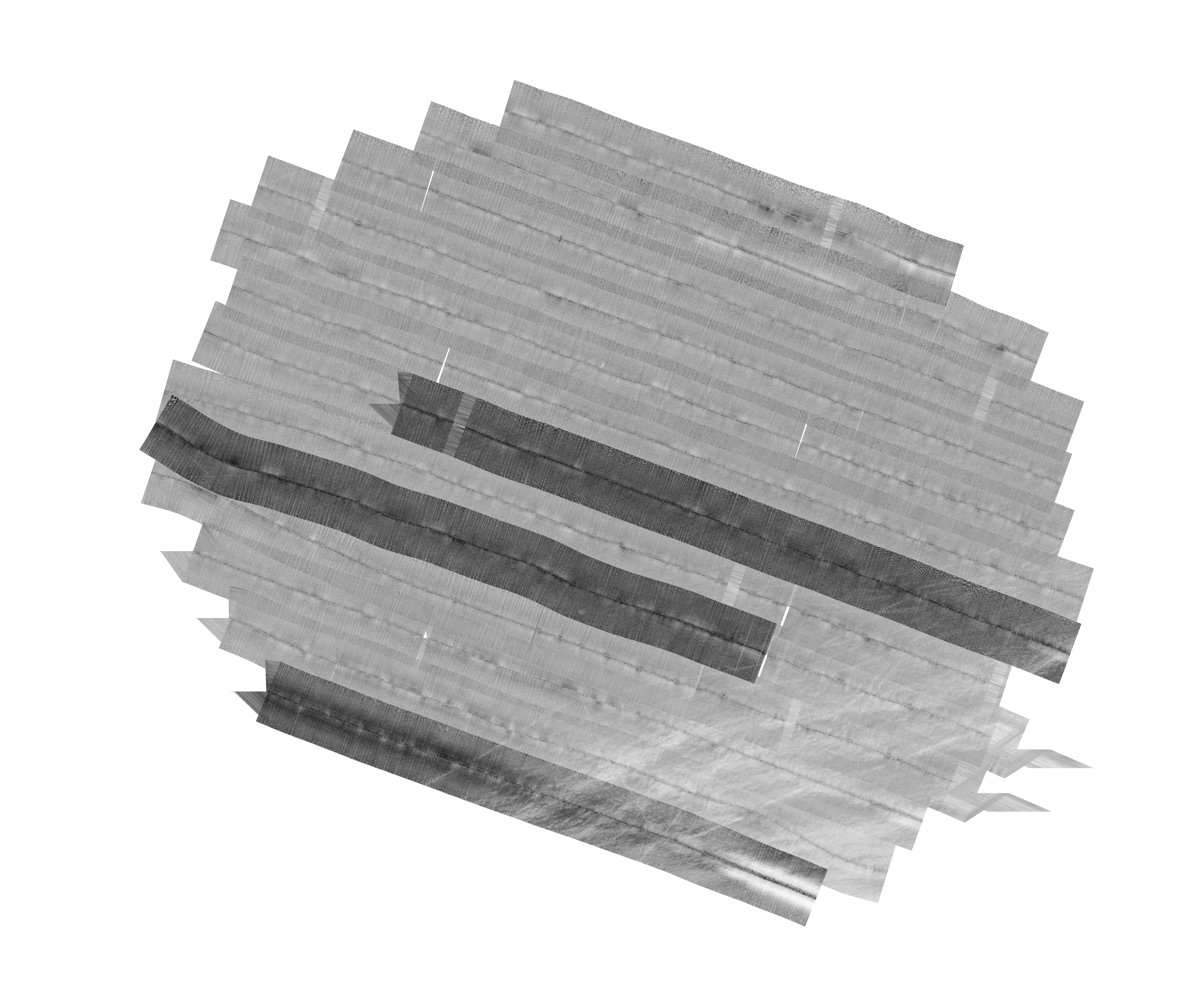
Federal
F00508: NOS Hydrographic Survey , Wildcat Knoll Mapping Project, Massachusetts, 2005-08-08
National Oceanic and Atmospheric Administration, Department of Commerce —
The National Oceanic and Atmospheric Administration (NOAA) has the statutory mandate to collect hydrographic data in support of nautical chart compilation for safe... -
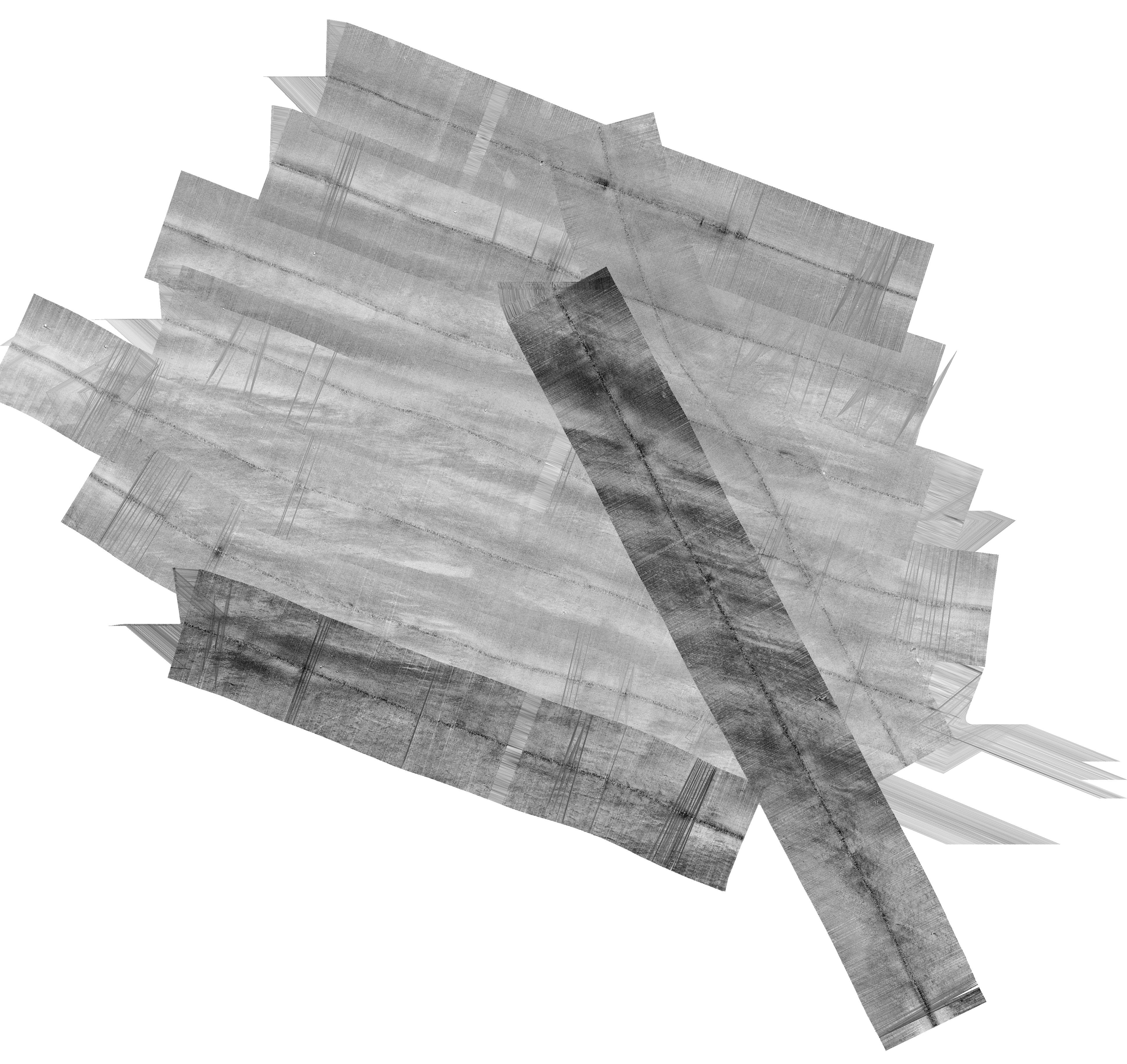
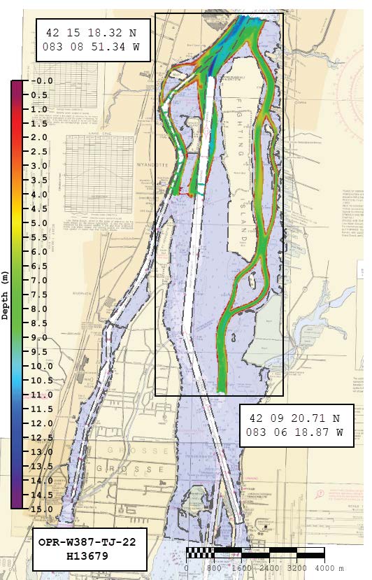
Federal
H13679: NOS Hydrographic Survey , 2022-08-22
National Oceanic and Atmospheric Administration, Department of Commerce —
The National Oceanic and Atmospheric Administration (NOAA) has the statutory mandate to collect hydrographic data in support of nautical chart compilation for safe... -
Federal
Training dataset and results for geothermal exploration artificial intelligence, applied to Brady Hot Springs and Desert Peak
Department of Energy —
The submission includes the labeled datasets, as ESRI Grid files (.gri, .grd) used for training and classification results for our machine leaning model: -... -
Federal
Data from: Topographic position index predicts within-field yield variation in a dryland cereal production system
Department of Agriculture —
We investigated drivers of sub-field spatial variability in yield for 3 crops (hard red winter wheat, Triticum aestivum L. variety Langin; corn, Zea mays L.; and... -
Federal
United States Utility-Scale PV Supply Curves 2024
Department of Energy —
This data packet contains supply curves, hourly generation profiles, and a composite siting exclusion TIFF for utility-scale PV across the contiguous United States.... -
Federal
Physical Solar Model version 3 Global Horizontal Irradiance Multi-year Annual Average
Department of Energy —
This data provides annual average daily total solar resource averaged over surface cells of 0.038 degrees in both latitude and longitude, or nominally 4 km in size.... -
Federal
Airport and Heliport Setbacks
Department of Energy —
This dataset represents a first-order quantification of airport and heliport setback requirements based on the Federal Aviation Administration (FAA) 14 CFR Part 77.9....
14,746 datasets found