
-
Federal
Multibeam collection for MV1305: Multibeam data collected aboard Melville from 21-Mar-13 to 05-May-13, Yokohama, Japan to Honolulu, Hawaii
National Oceanic and Atmospheric Administration, Department of Commerce —
This data set is part of a larger set of data called the Multibeam Bathymetry Database (MBBDB) where other similar data can be found -
Federal
ETOPO 2022 15 Arc-Second Global Relief Model
National Oceanic and Atmospheric Administration, Department of Commerce —
ETOPO 2022, a global relief model with 15 arc-second resolution seamlessly integrating topographic and bathymetric data. The ETOPO 2022 model uses a combination of... -
Federal
Coastal Digital Elevation Models (DEMs)
National Oceanic and Atmospheric Administration, Department of Commerce —
Digital elevation models (DEMs) of U.S. and other coasts that typically integrate ocean bathymetry and land topography. The DEMs support NOAA's mission to understand... -
Federal
Main Hawaiian Islands Multibeam Bathymetry Synthesis: 1-km Bathymetry and Topography
National Oceanic and Atmospheric Administration, Department of Commerce —
A 50-m resolution gridded synthesis of all available bathymetry (ocean depth) data for the main Hawaiian Islands, from the Hawaii Mapping Research Group (HMRG) in the... -
Federal
Galapagos Islands, Ecuador 3 sec Digital Elevation Model
National Oceanic and Atmospheric Administration, Department of Commerce —
NOAA's National Centers for Environmental Information is building high-resolution digital elevation models (DEMs) for select U.S. coastal regions. These integrated... -
Federal
Historical Map & Chart Collection of NOAA's Nautical Charts, Hydrographic Surveys, Topographic Surveys, Geodetic Surveys, City Plans, and Civil War Battle Maps Starting from the mid 1700's
National Oceanic and Atmospheric Administration, Department of Commerce —
The Historical Map and Chart Collection of the Office of Coast Survey contains over 35000 historical maps and charts from the mid 1700s up through the 2020s,... -
Federal
Multibeam Bathymetry Database (MBBDB) NGDA
National Oceanic and Atmospheric Administration, Department of Commerce —
Originally designed for military use, the multibeam echosounder has proved very useful for nautical charting, oceanographic research and modeling, habitat... -
Federal
Bathymetry of Lake Superior
National Oceanic and Atmospheric Administration, Department of Commerce —
Bathymetry of Lake Superior has been compiled as a component of a NOAA project to rescue Great Lakes lake floor geological and geophysical data and make it more... -
Federal
Galveston Bay (G260) Bathymetric Digital Elevation Model - NOAA/NOS Estuarine Bathymetry
National Oceanic and Atmospheric Administration, Department of Commerce —
A 1/3 arc-second Mean Lower Low Water bathymetric DEM of NOS hydrographic survey data in Galveston Bay. -
Federal
Chesapeake Bay (M130) Bathymetric Digital Elevation Model - NOAA/NOS Estuarine Bathymetry
National Oceanic and Atmospheric Administration, Department of Commerce —
A 1/3 arc-second Mean Lower Low Water bathymetric DEM of NOS hydrographic survey data in the Chesapeake Bay Estuary. -
Federal
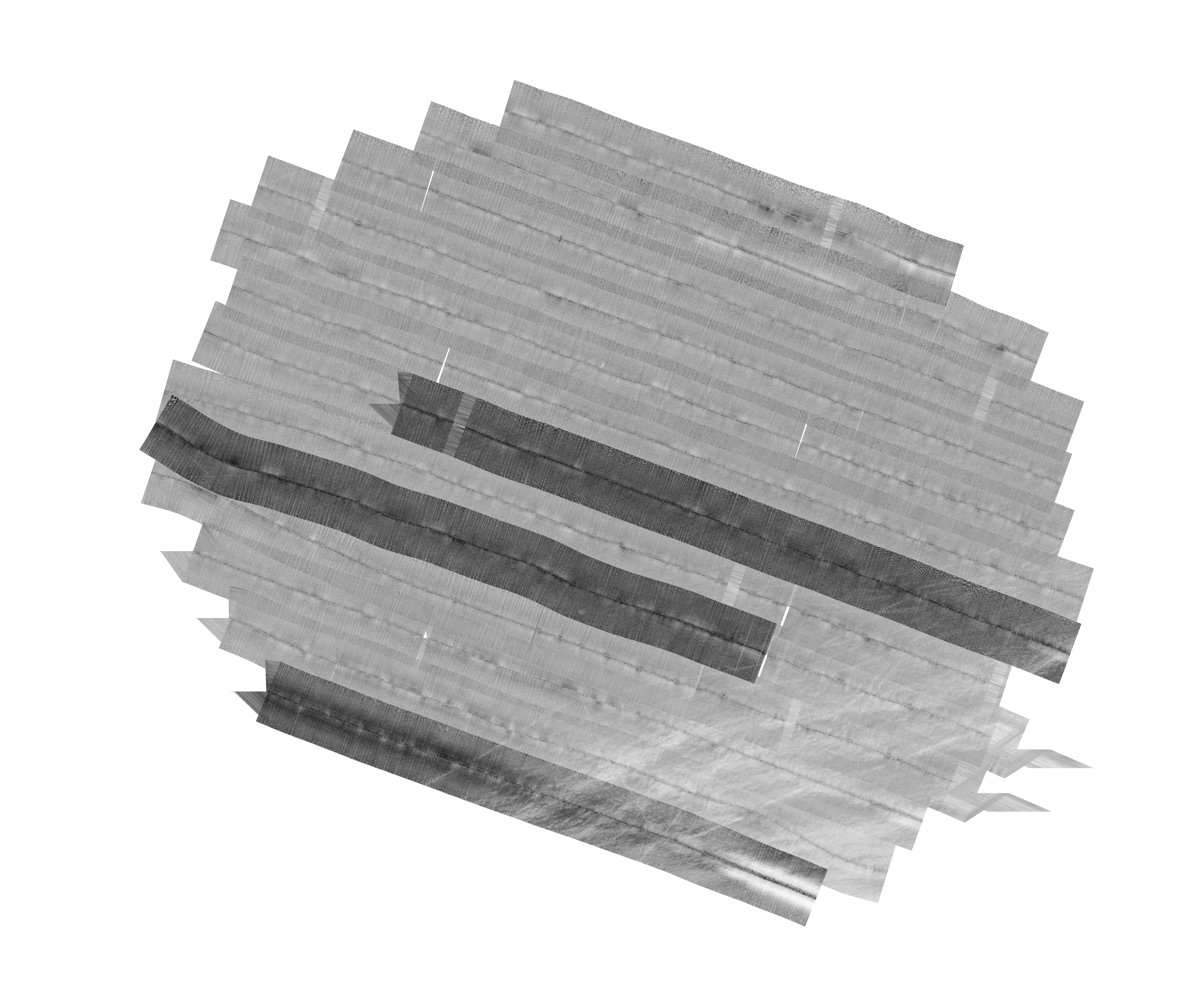
L01309: NOS Hydrographic Survey
National Oceanic and Atmospheric Administration, Department of Commerce —
The National Oceanic and Atmospheric Administration (NOAA) has the statutory mandate to collect hydrographic data in support of nautical chart compilation for safe... -
Federal
ETOPO5 Global Surface Relief
National Oceanic and Atmospheric Administration, Department of Commerce —
ETOPO5 is a 5 arc-minute global relief model of Earth's surface that integrates land topography and ocean bathymetry. It was built from numerous global and regional... -
Federal
BlueTopo
National Oceanic and Atmospheric Administration, Department of Commerce —
BlueTopo is a compilation of the nation's best available bathymetric data. Created as part of the NOAA Office of Coast Survey's nautical charting mission and its... -
Federal
Marine Trackline Geophysical Database NGDA
National Oceanic and Atmospheric Administration, Department of Commerce —
This data set contains bathymetry, magnetic, gravity and seismic shot point navigation data collected during marine cruises from 1939 to the present. Coverage is... -
Federal
New Orleans, Louisiana 1/3 arc-second MHW Coastal Digital Elevation Model
National Oceanic and Atmospheric Administration, Department of Commerce —
NOAA's National Geophysical Data Center (NGDC) is building high-resolution digital elevation models (DEMs) for select U.S. coastal regions in the Gulf of Mexico.... -
Federal
Continuously Updated Digital Elevation Model (CUDEM) - 1/3 Arc-Second Resolution Bathymetric-Topographic Tiles
National Oceanic and Atmospheric Administration, Department of Commerce —
NOAA's National Centers for Environmental Information (NCEI) is developing a suite of digital elevation models (DEMs) for the U.S. coast to support a variety of NOAA... -
Federal
F00508: NOS Hydrographic Survey , Wildcat Knoll Mapping Project, Massachusetts, 2005-08-08
National Oceanic and Atmospheric Administration, Department of Commerce —
The National Oceanic and Atmospheric Administration (NOAA) has the statutory mandate to collect hydrographic data in support of nautical chart compilation for safe... -
Federal
Winyah Bay, SC (S060) Bathymetric Digital Elevation Model (30 meter resolution) Derived From Source Hydrographic Survey Soundings Collected by NOAA
National Oceanic and Atmospheric Administration, Department of Commerce —
Bathymetry for Winyah Bay was derived from eight surveys containing 33,974 soundings. No surveys were omitted. The average separation between soundings was 49 meters.... -
Federal
Prince William Sound, Alaska 8/3 Arc-second MHHW Coastal Digital Elevation Model
National Oceanic and Atmospheric Administration, Department of Commerce —
NOAA's National Geophysical Data Center (NGDC) is building high-resolution digital elevation models (DEMs) to support individual coastal States as part of the... -
Federal
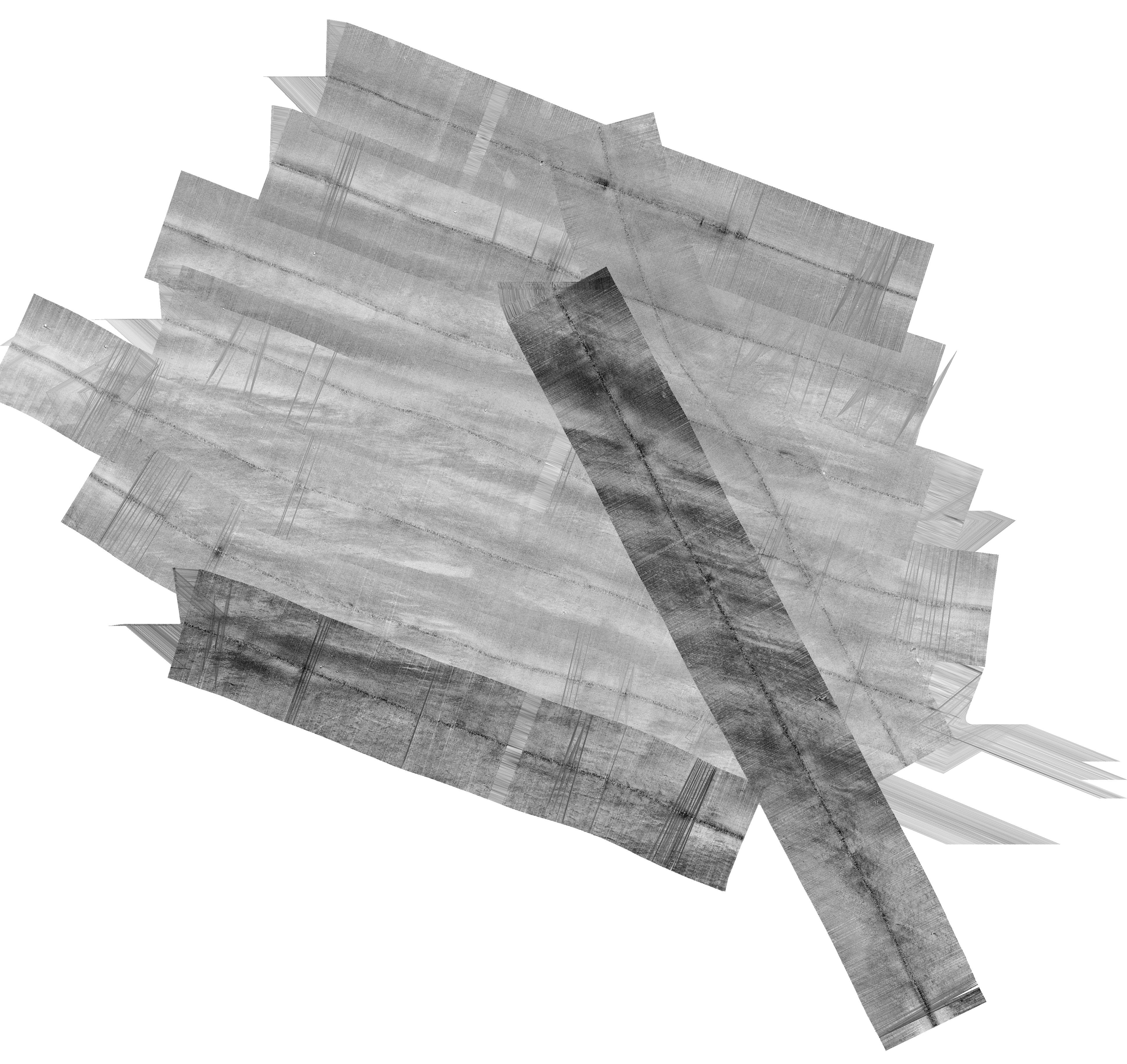
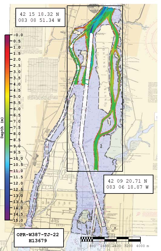
H13679: NOS Hydrographic Survey , 2022-08-22
National Oceanic and Atmospheric Administration, Department of Commerce —
The National Oceanic and Atmospheric Administration (NOAA) has the statutory mandate to collect hydrographic data in support of nautical chart compilation for safe...

Official websites use .gov
A
.gov website belongs to an official government
organization in the United States.
Secure .gov websites use HTTPS
A
lock (
) or https:// means you’ve safely connected to
the .gov website. Share sensitive information only on official,
secure websites.