
-
State
Lidar-derived elevation data for Columbia Glacier terminus and adjacent slope, Southcentral Alaska, collected September 18, 2022
State of Alaska —
Lidar-derived elevation data for Columbia Glacier terminus and adjacent slope, Southcentral Alaska, collected September 18, 2022, Raw Data File 2023-16, provides an... -
Federal
Steller sea lion haulout and rookery locations in the United States
National Oceanic and Atmospheric Administration, Department of Commerce —
Steller sea lions (Eumetopias jubatus) use terrestrial sites for reproduction, resting, molting, and other activities. Sites used during the breeding season (May-... -
Federal
Prince William Sound, Alaska 8/3 Arc-second MHHW Coastal Digital Elevation Model
National Oceanic and Atmospheric Administration, Department of Commerce —
NOAA's National Geophysical Data Center (NGDC) is building high-resolution digital elevation models (DEMs) to support individual coastal States as part of the... -
Federal
Prince William Sound, Alaska ESI: M_MAMMAL (Marine Mammal Polygons)
National Oceanic and Atmospheric Administration, Department of Commerce —
This data set comprises the Environmental Sensitivity Index (ESI) data for Prince William Sound, Alaska. ESI data characterize estuarine environments and wildlife by... -
Federal
H10580: NOS Hydrographic Survey , Northwest Prince Willliam Sound, Alaska, 1994-11-01
National Oceanic and Atmospheric Administration, Department of Commerce —
The National Oceanic and Atmospheric Administration (NOAA) has the statutory mandate to collect hydrographic data in support of nautical chart compilation for safe... -
Federal
Prince William Sound, Alaska ESI: BIRDS
National Oceanic and Atmospheric Administration, Department of Commerce —
This data set comprises the Environmental Sensitivity Index (ESI) data for Prince William Sound, Alaska. ESI data characterize estuarine environments and wildlife by... -
Federal
H10517: NOS Hydrographic Survey , Northwest Prince William Sound, Alaska, 1993-11-02
National Oceanic and Atmospheric Administration, Department of Commerce —
The National Oceanic and Atmospheric Administration (NOAA) has the statutory mandate to collect hydrographic data in support of nautical chart compilation for safe... -
Federal
H11388: NOS Hydrographic Survey , Southwest Prince William Sound, Alaska, 2004-10-14
National Oceanic and Atmospheric Administration, Department of Commerce —
The National Oceanic and Atmospheric Administration (NOAA) has the statutory mandate to collect hydrographic data in support of nautical chart compilation for safe... -
Federal
Sightings of marked Alaska Steller sea lions throughout their range, 1987-2014
National Oceanic and Atmospheric Administration, Department of Commerce —
This dataset contains information regarding the sighting and capture of Steller sea lions marked in Alaska from 1987 to 2014. Marks are seen and documented in a... -
Federal
H10578: NOS Hydrographic Survey , Northwest Prince Willliam Sound, Alaska, 1994-11-01
National Oceanic and Atmospheric Administration, Department of Commerce —
The National Oceanic and Atmospheric Administration (NOAA) has the statutory mandate to collect hydrographic data in support of nautical chart compilation for safe... -
Federal
H02501: NOS Hydrographic Survey
National Oceanic and Atmospheric Administration, Department of Commerce —
The National Oceanic and Atmospheric Administration (NOAA) has the statutory mandate to collect hydrographic data in support of nautical chart compilation for safe... -
Federal
Coastal Mapping Program of Prince William Sound, Wells Passage to Eaglek Bay, AK, AK2314B-CM-T NGDA
National Oceanic and Atmospheric Administration, Department of Commerce —
These data provide an accurate high-resolution shoreline compiled from imagery of Prince William Sound, Wells Passage to Eaglek Bay, AK . This vector shoreline data... -
Federal
National Status and Trends, Benthic Surveillance Project Chemistry Data, 1984-1992, National Centers for Coastal Ocean Science
National Oceanic and Atmospheric Administration, Department of Commerce —
The National Status and Trends (NS&T) Benthic Surveillance Project Chemistry data file reports the trace concentrations of a suite of chemical contaminants in... -
Federal
H10507: NOS Hydrographic Survey , Northwest Prince William Sound, Alaska, 1993-10-07
National Oceanic and Atmospheric Administration, Department of Commerce —
The National Oceanic and Atmospheric Administration (NOAA) has the statutory mandate to collect hydrographic data in support of nautical chart compilation for safe... -
Federal
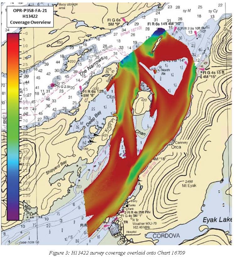
H13422: NOS Hydrographic Survey , 2021-08-11
National Oceanic and Atmospheric Administration, Department of Commerce —
The National Oceanic and Atmospheric Administration (NOAA) has the statutory mandate to collect hydrographic data in support of nautical chart compilation for safe... -
Federal
H10499: NOS Hydrographic Survey , Northwest Prince William Sound, Alaska, 1993-09-22
National Oceanic and Atmospheric Administration, Department of Commerce —
The National Oceanic and Atmospheric Administration (NOAA) has the statutory mandate to collect hydrographic data in support of nautical chart compilation for safe... -
Federal
H13419: NOS Hydrographic Survey , 2021-03-24
National Oceanic and Atmospheric Administration, Department of Commerce —
The National Oceanic and Atmospheric Administration (NOAA) has the statutory mandate to collect hydrographic data in support of nautical chart compilation for safe... -
Federal
H10570: NOS Hydrographic Survey , Northwest Prince Willliam Sound, Alaska, 1994-09-29
National Oceanic and Atmospheric Administration, Department of Commerce —
The National Oceanic and Atmospheric Administration (NOAA) has the statutory mandate to collect hydrographic data in support of nautical chart compilation for safe... -
State
Lidar-derived elevation data for lower Serpentine Glacier and adjacent slopes, Southcentral, Alaska, collected October 14, 2022
State of Alaska —
Lidar-derived elevation data for lower Serpentine Glacier and adjacent slopes, Southcentral, Alaska, collected October 14, 2022, Raw Data File 2023-14, uses aerial... -
Federal
H11389: NOS Hydrographic Survey , Southwest Prince William Sound, Alaska, 2004-11-24
National Oceanic and Atmospheric Administration, Department of Commerce —
The National Oceanic and Atmospheric Administration (NOAA) has the statutory mandate to collect hydrographic data in support of nautical chart compilation for safe...

Official websites use .gov
A
.gov website belongs to an official government
organization in the United States.
Secure .gov websites use HTTPS
A
lock (
) or https:// means you’ve safely connected to
the .gov website. Share sensitive information only on official,
secure websites.
.jpg)
.jpg)
.jpg)
.jpg)
.jpg)
.jpg)
.jpg)