Wetland Salinity Maps of Select Estuary Sites in the United States, 2020
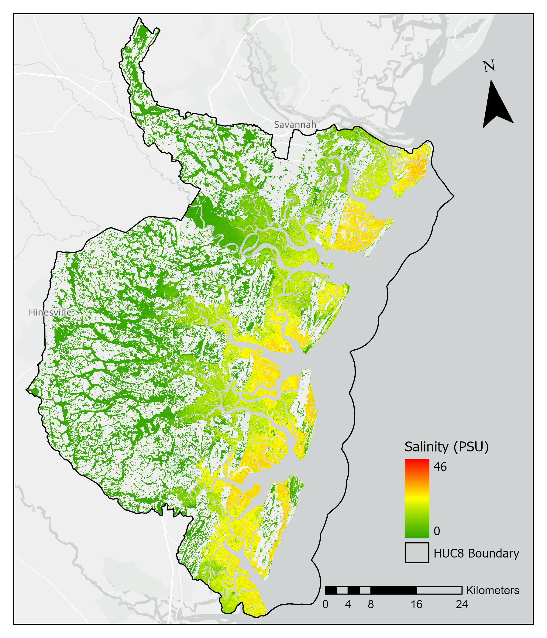
This dataset provides gridded average annual wetland salinity concentrations in practical salinity units (PSU) at 30-meter resolution within 24 coastal estuary sites in the United States predicted for 2020.

Figure 1. Salinity modeled in practical salinity units to the Sapelo Island National Estuarine Research Reserve watershed in coastal Georgia, U.S.
Citation: Holmquist, J.R., and A. Carr. 2025. Wetland Salinity Maps of Select Estuary Sites in the United States, 2020. ORNL DAAC, Oak Ridge, Tennessee, USA. https://doi.org/10.3334/ORNLDAAC/2392
